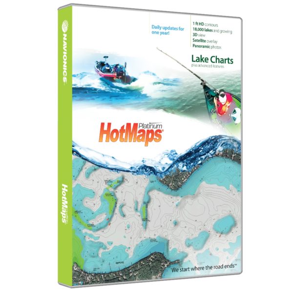
Manufacture ID: MSD/HMPT-N6
HotMaps Platinum gives you detailed maps of 17,000 lakes and growing with the addition of 3D Views, Panoramic Lake Photo, Top-down Satellite Imagery and exclusive 1 foot contouring on 1000 hi-definition survey lakes. Designed with the tournament angler in mind Navionics 1′ contours combined with road beds, foundations, bridges, brush piles, culverts and creek channels, and other underwater structure will complement the world’s leading sonar technology. Whether you are trolling a deep contour for monster Walleye or flippin’ creature baits under a dock for a 9 lb bucketmouth Navionics shorelines and dock shapes as well as new boat ramps will give you the edge you need to make the cut with unparalleled accuracy. Spend less time searching and more time fishing! Updates are made Daily.
Features:
– Satellite Imagery Overlay
– 3D Bottom definition
– Panoramic photos
– Roadbeds, Foundations, Creek Beds, Brush Piles, Fish Attractors and other submerged structure locations
– Accurate Coastline, Dock, and boat ramp locations
– Pro Staff additions
– Coastal Data with Tides and Currents
Navionics
MSD/HMPT-N6
Chart, Electronic
821245115942

